
- Topics

HAMAS IN THE
WEST BANK
HISTORY OF
THE SETTLEMENTS
HISTORY OF
NEGOTIATIONS
CONFLICT
ZONES
KILLING OF
MUSTAFA TAMIMI
MIGRON
CASE
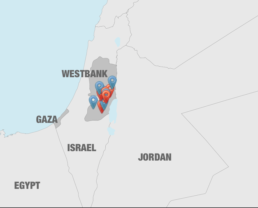
Conflict Zones
The West Bank is about the size of Delaware. Its name derives from its eastern border: the Jordan River and the Dead Sea. Israel gained control of the West Bank during the Six Day War of 1967, and Israeli settlement began immediately after the war. Today, 350,000 Israelis live in 120 settlements among 2.6 million Palestinians. In many places, the two groups are closely packed together – one hill topped by a minaret, the next with the roof of the synagogue clearly visible atop the ridge.
The Israeli settlements range from communities that are practically small cities, with populations as large as 55,000, to tiny outposts, shacks on a hill occupied by young Israeli extremists who are often forced off by the Israeli authorities.
Conflict Zones shows the places that are part of the story of Holy Land. Red markers denote Palestinian locations. Blue markers denote Israeli locations. Click on a marker to learn more about each location, and for links to related videos.
See Larger Map